Reptile Recovery Strategy for the Cheshire Sandstone Ridge
Case Study
The Project:
Reptile Recovery Strategy and ecological assessment across a priority landscape.
Location:
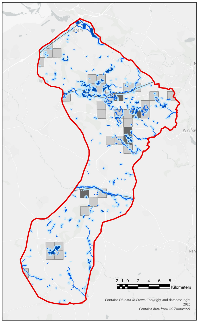
Cheshire Sandstone Ridge, Cheshire (220km² from Bickerton Hill to Frodsham Hill).
Objective:
To assess reptile populations, identify priority habitats and develop a long-term, evidence-based strategy for species recovery.
Client:
Natural England
The background
Cheshire Wildlife Trust Consultancy was commissioned by Natural England to develop a landscape-scale reptile recovery strategy for the Cheshire Sandstone Ridge, one of the most important remaining refuges for reptiles in the county.
Covering an area of 220km², the project brought together historic data, habitat mapping and extensive field surveys to provide a robust, evidence-led framework for long-term species recovery.
The Challenge
Reptile populations across Cheshire have declined significantly, with fragmented habitats and limited recent data making it difficult to understand current distribution and recovery potential.
The project required a comprehensive assessment across a large and complex landscape, combining historic records, current survey data and habitat analysis to inform a practical and deliverable recovery strategy.
The Approach
The strategy combined multiple data sources and survey techniques to build a clear ecological baseline.
The work included:
- Analysis of historical records dating back to 1827
- Habitat mapping using the Cheshire and Warrington
- Local Nature Recovery Strategy dataset
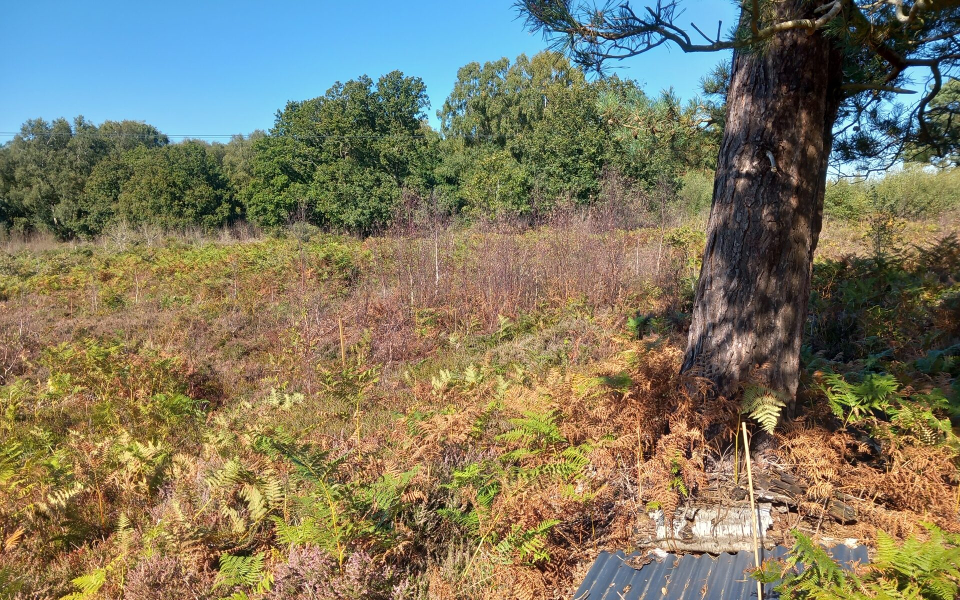
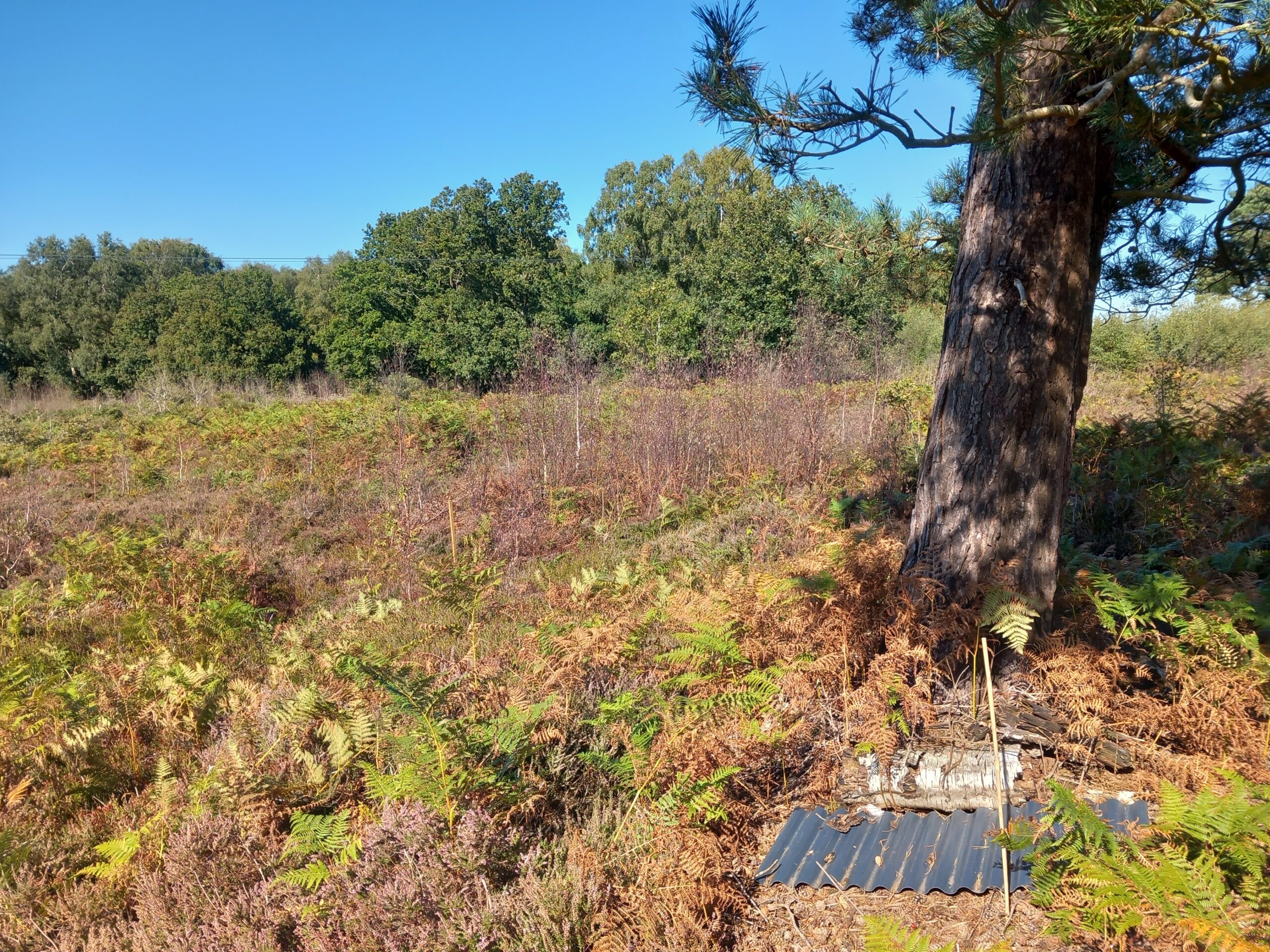
- Field surveys across 90 hectares of priority habitat at six key sites
- Deployment of over 420 artificial cover objects
- Seven survey visits per site to confirm species presence
This approach ensured a detailed and spatially accurate understanding of reptile distribution across the Sandstone Ridge.
The Outcome
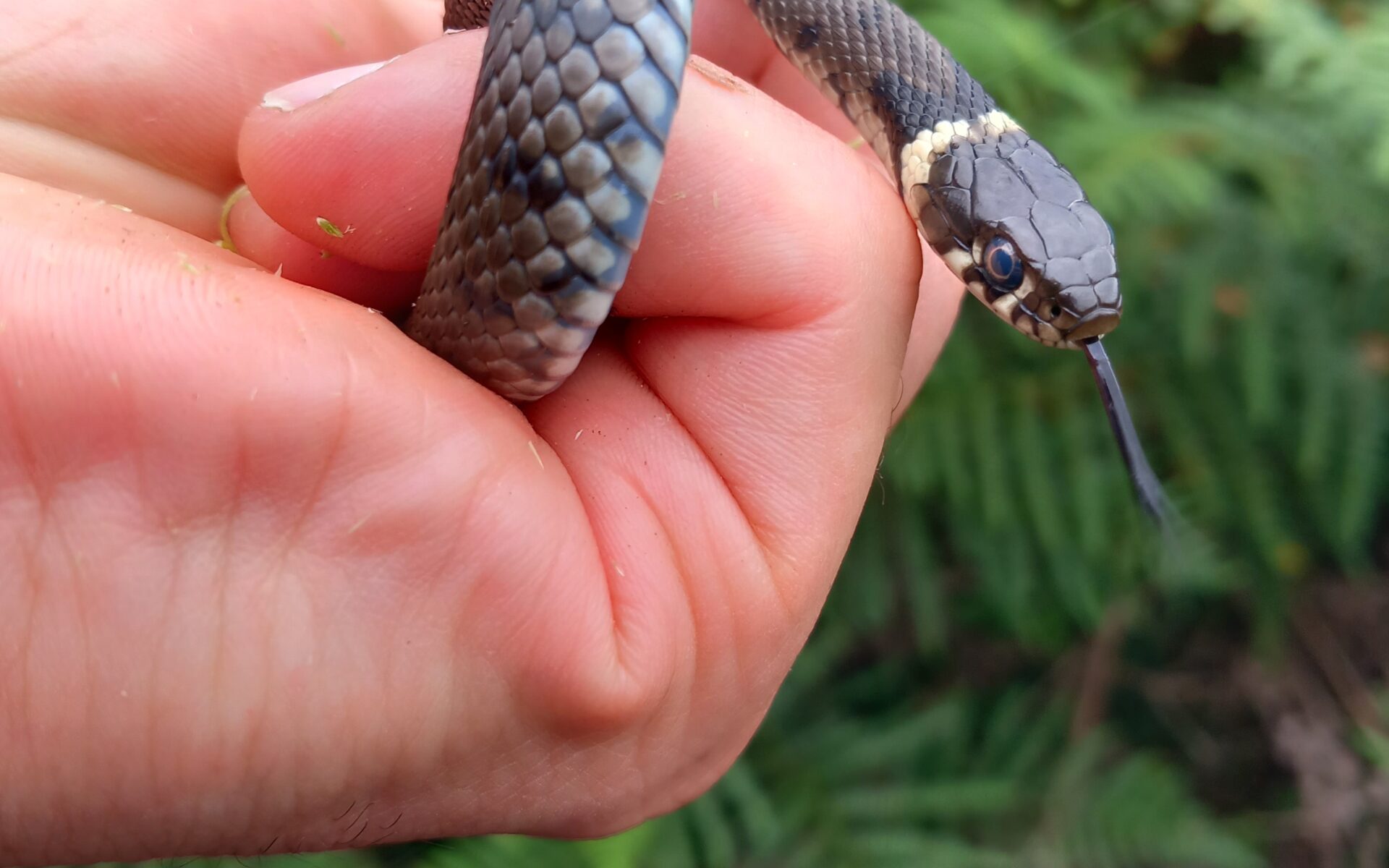
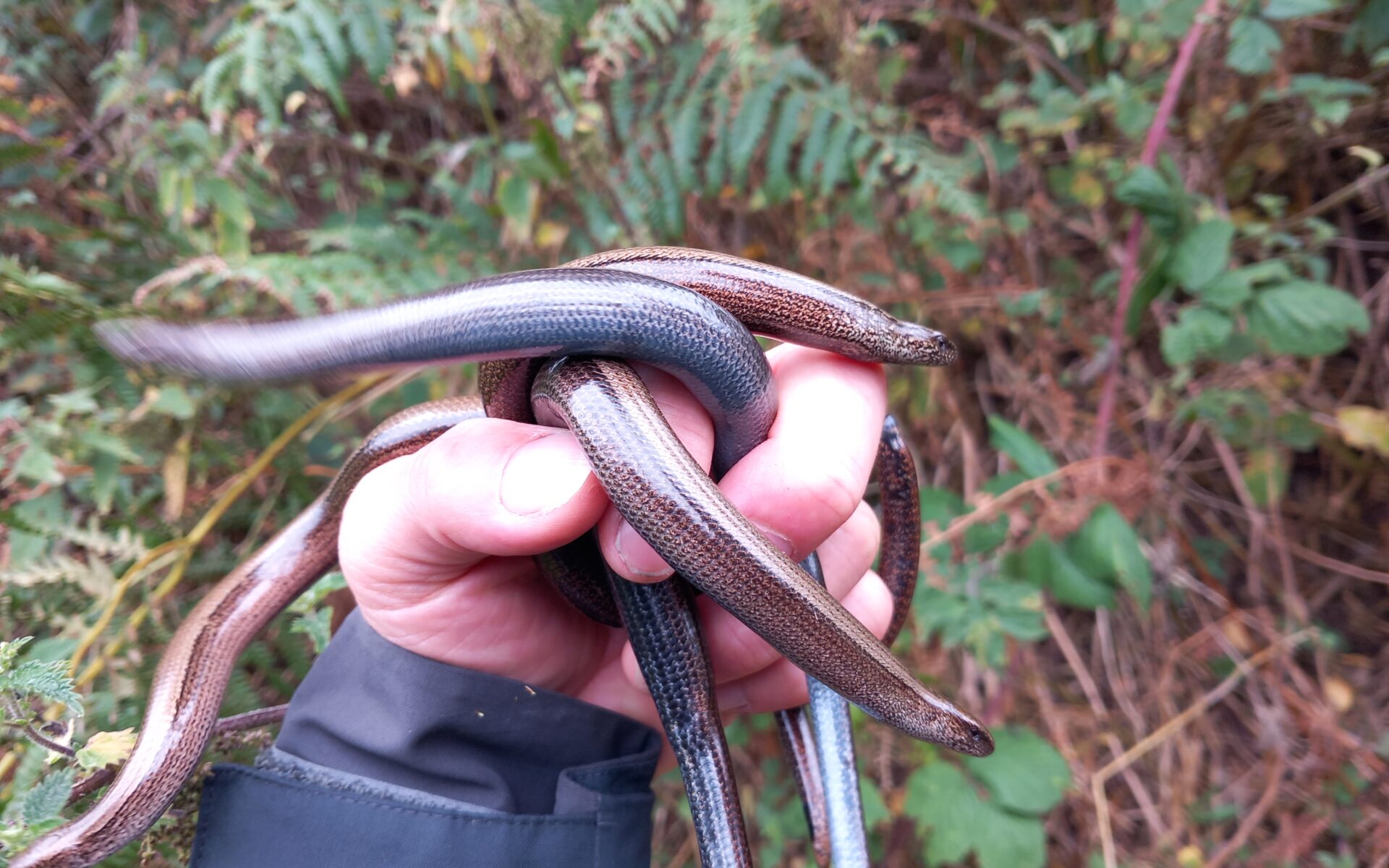
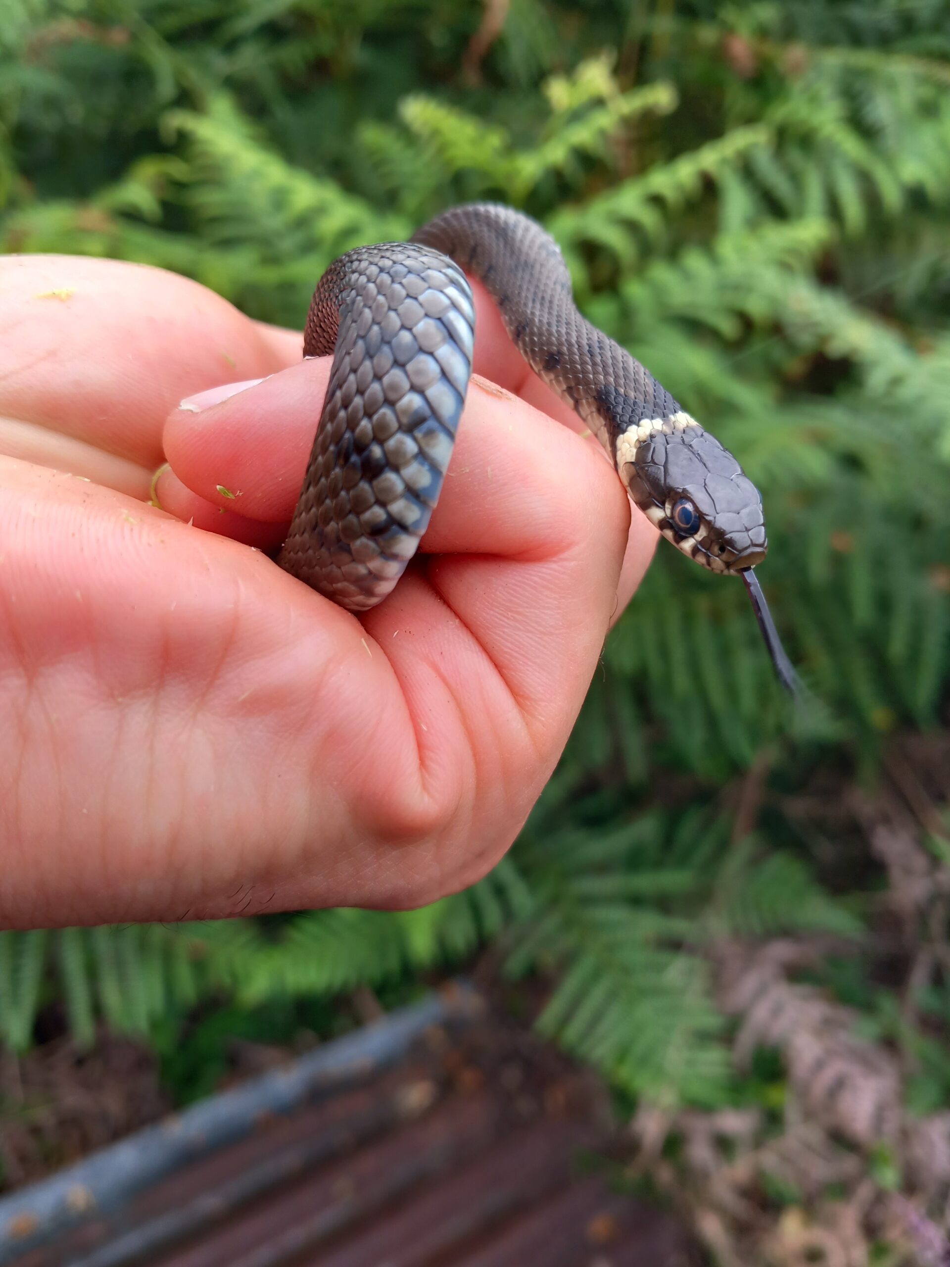
The surveys confirmed the presence of common lizard at multiple sites, including Bickerton Hill and Hatchmere, and recorded grass snake and slow-worm at Beeston Castle for the first time.
Adder was not recorded at any surveyed site, reinforcing evidence of local extinction across much of its former Cheshire range.
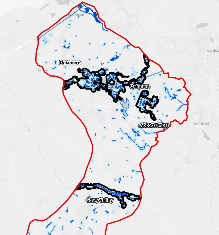
Five priority focus areas were identified where habitat is most extensive and well connected:
- Delamere
- Oakmere
- Abbotts Moss
- Gowy Valley
- Bickerton Hill
A seven-action recovery strategy was developed, covering habitat management, Local Wildlife Site designation, quarry restoration, forestry planning and the potential for species translocation.
Project Impact
The project delivered a spatially referenced, evidence-based strategy that can now inform land management, planning decisions and future funding bids.
Cheshire Wildlife Trust’s access to the Cheshire and Warrington Local Habitat Map provided a significant advantage, enabling the use of high-quality, landscape-scale data without additional cost or delay.
Established relationships with landowners, Forestry England, the National Trust and the local records centre ensured efficient data sharing, site access and survey coordination.
Combined with strong local ecological knowledge, this allowed the strategy to be grounded in practical, real-world conditions rather than theoretical modelling alone.
FAQs
What is a species recovery strategy?
A species recovery strategy is a long-term plan that uses ecological data, habitat mapping and field surveys to guide the conservation and restoration of specific species across a defined area.
Why are reptile surveys important for conservation projects?
Reptile surveys help identify species presence, population trends and habitat requirements, providing essential data to inform land management, planning decisions and conservation strategies.
How are reptile surveys carried out?
Surveys often use methods such as artificial cover objects, habitat assessments and repeated site visits to accurately record species presence and distribution.
Can ecological data support planning and land management decisions?
Yes. Robust ecological data and habitat mapping are critical for informing planning applications, land management strategies and environmental policy decisions.
Do you provide ecological surveys and conservation strategies in Cheshire?
Yes. Cheshire Wildlife Trust Consultancy delivers ecological surveys, habitat mapping and species recovery strategies across Cheshire and the wider North West.
Need ecological surveys or a species recovery strategy?
We provide ecological assessments, habitat mapping and landscape-scale conservation strategies across Cheshire and the wider North West.